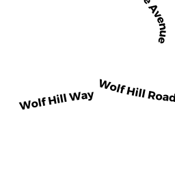
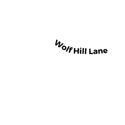
14 WOLF HILL RD
Owner Information
MCKECHNIE GINGER & JOSEPH ET AL
14 WOLF HILL RD
GLOUCESTER, MA 01930


Property Details
14 WOLF HILL RD is classified as a Single Family Residential (Cape cod).
The primary structure on this property was built in 1931. There are 1,908ft2 of built area within this property. There is 1,555ft2 of residential/living space within this property.
14 WOLF HILL RD is valued at $447,900. The land is valued at $227,200 and the structures are valued at $220,700.
This property is in Zone R-20. Confirm with local Zoning Board authorities to ensure there are no overlays or other easements on this property.
The most recent deed for 14 WOLF HILL RD is recorded at the local registrar in Book 37324, Page 61. 14 WOLF HILL RD was last sold on Tuesday, February 12, 2019 for $1.
Assessment data from fiscal year 2022.
Flood Data
According to the FEMA National Flood Hazard Layer, this property does not appear to be in a flood zone. It may also be in an area not yet reviewed. Nonetheless, confirm this information prior to taking any action.
To view the flood hazards around this property, create a FEMA "Firmette" Map of the area around 14 WOLF HILL RD.
Broadband Internet Providers
| Provider | Type | Bandwidth (mbps) | |
|---|---|---|---|
| GCI Communication Corp. | Satellite | 0 | 0 |
| Comcast | Cable | 1000 | 35 |
| T-Mobile | Fixed Wireless | 25 | 3 |
| HughesNet | Satellite | 25 | 3 |
| VSAT Systems, LLC. | Satellite | 2 | 1 |
| Verizon New England Inc. | DSL | 10 | 1 |
| Viasat Inc | Satellite | 100 | 3 |
Broadband service provider data from December 2020.
Adjacent Properties
- 55 WOLF HILL LN
Single Family Residential owned by MCKECHNIE ELEANOR M - 12A WOLF HILL RD
Accessory Land with Improvement owned by MCKECHNIE JOSEPH E & GINGER - 14R WOLF HILL RD
Undevelopable Residential Land owned by MCKECHNIE JOSEPH E & GINGER MCGARY - 55R WOLF HILL LN
Undevelopable Residential Land owned by MCKECHNIE ELEANOR M